Weather Service alert
Weather
–
Loading…
Air temp
–
Loading…
UV index
–
Loading…
Surf
–
Loading…
Water temp
–
Loading…
Sunrise and sunset
–
Loading…
Lumahaʻi Beach in 3D
The 3D view loads when you scroll here.
Drag to spin · Blue P: parking · White line: walk to the sand · waves are for illustration, not a surf report ·
Known hazards
“A female visitor died Wednesday afternoon after being pulled from waters off Lumaha‘i Beach.”County of Kauaʻi, 2024-02-29
“If in doubt, don't go out and only undertake ocean activities where a lifeguard is present,”County of Kauaʻi, 2024-02-29
Closures and alerts
Closures and advisories
- Loading the latest check…
Official alerts
Loading National Weather Service alerts…
Conditions
Surf
Loading the surf forecast…
Weather
Tide
Loading tide predictions…
Parking and access
Parking
Roadside only, along Kūhiō Highway. East end: a small pullout near the lookout just before mile marker 5. West end: an unpaved area by the Lumahaʻi River bridge. Free, and the spots fill quickly.
Getting to the sand
East end: a short, steep trail down to the sand, slippery when wet. West end: walk from the river bridge to the beach.
Lifeguard
Not guarded. The County of Kauaʻi Ocean Safety Bureau doesn't list a lifeguard tower here.
Where we stay. We stay at Honu Hale Sunrise in Princeville. It’s ours.
See Honu Hale SunriseAbout Lumahaʻi Beach
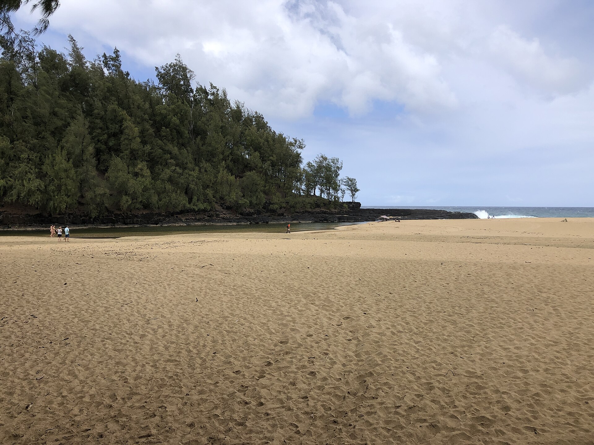
Lumahaʻi Beach is a wild stretch of golden sand on Kauaʻi's North Shore, between Hanalei and Wainiha, framed by black lava rocks and dense green forest. Its east end, sometimes called Nurses Beach, is where the beach scene in the 1958 film South Pacific was shot.
People come for the scenery and the walk: the beach runs from a lava point at its east end to the Lumahaʻi River mouth at its west end. It has no lifeguard and no facilities, and its steep sand drops straight into open ocean, with strong currents and shorebreak. Parking is limited to roadside pull-offs and a small dirt lot by the river bridge.
Lumahaʻi Beach is a beach on Kauaʻi’s North Shore, on the north-facing coast. No County lifeguard tower covers it. Its surf follows the National Weather Service forecast for North-facing shores, and its tides follow NOAA’s Hanalei Bay station.
Questions
Is Lumahaʻi Beach open?
The top of this page shows any closure or advisory that the County of Kauaʻi, the State (DLNR) or the Hawaiʻi Department of Health has posted for Lumahaʻi Beach. We check every 3 hours. If our last check is more than a day old, it says “Status unknown” instead of guessing.
Where is Lumahaʻi Beach, and how do you get there?
Lumahaʻi Beach is on Kauaʻi’s North Shore. Its public access point is at GPS 22.21480, -159.53000. Directions in Google Maps. The map on this page shows lots that OpenStreetMap marks as public.
Is there a lifeguard at Lumahaʻi Beach?
No. Lumahaʻi Beach has no County lifeguard tower. The nearest guarded beach is the place to ask about conditions.
Where do you park for Lumahaʻi Beach?
Roadside only, along Kūhiō Highway. East end: a small pullout near the lookout just before mile marker 5. West end: an unpaved area by the Lumahaʻi River bridge. Free, and the spots fill quickly.
Can you swim at Lumahaʻi Beach?
That changes day to day with the surf, and this site doesn't make that call. Check the North-facing surf range above, any alerts, and a lifeguard at the nearest guarded beach. Hazard ratings for guarded beaches are at hawaiibeachsafety.com.
Report conditions
Just there? Tell us what you found. Reports never change this page by themselves.
Sources
- Closures: County of Kauaʻi, DLNR, Hawaiʻi Department of Health
- Surf, weather and alerts: National Weather Service Honolulu
- Tides: NOAA station 1611683
- Parking lots on the map: © OpenStreetMap contributors
Sources last checked October 26, 2026.